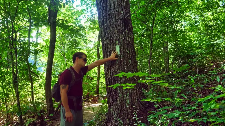
While the official name is The Justin P. Wilson Cumberland Trail State Park, most people call it the Cumberland trail for short. This article and the videos below cover the, arguably, the most scenic portion that is Signal Point To Mushroom Rock. From Mushroom Rock, it ends at Highway 27, giving it an 8.4-mile total trek.
The Cumberland trail from this route is located in Signal Mountain, Tennessee, and offers some of the most scenic views. You’ll find a vast range of terrain and landmarks on this path, such as waterfalls, massive boulder caves, various overlooks over the Tennessee river, suspension bridges, the infamous Mushroom Rock, etc.
Two Videos Exploring The Cumberland Trail From Signal Point In Signal Mountain, Tennessee
As you can see in both videos below, this portion of the Cumberland Trail is one of the most adventure-filled and versatile journeys you could find.
Types Of Trails & What To Expect
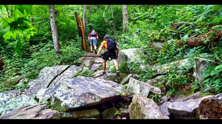
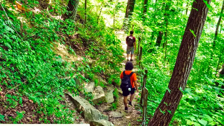
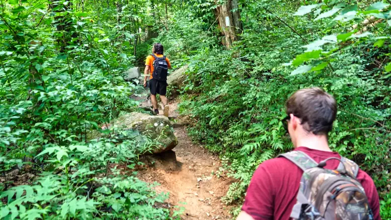
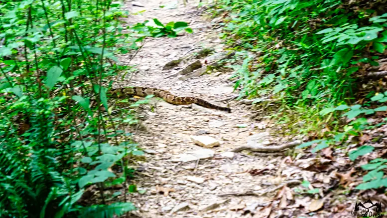
Anywhere between narrow rocky paths that hug a ridge to flat broad paths, you’ll find on this trail. You’ll even encounter boulders and rocky trails along the way. Another notable point is the snakes you’ll encounter. We ran into a rattlesnake on the actual trail. Moreover, there are many bridges that cross over a creek along the way.
19 Awesome Landmarks On The Justin P. Wilson Cumberland Trail State From Signal Point To Mushroom Rock
1. Landmark – Signal Point Staircase
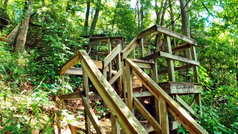
The moment you start the Cumberland Trail from Signal Pint, you’ll go down Signal Point Staircase.
2. Landmark – Spiders Cove
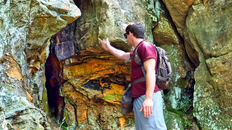
Once you start the primary trail after the staircase, you’ll find a massive boulder with a miniature cave on the right. You’ll also find the diverse colors of the rocks amusing.
3. Landmark – Hanging Rock
Located on an off-shoot trail about 0.5 miles in, you’ll find the Hanging Rock. It’s basically a massive long rock hanging on the edge of a grounded boulder.
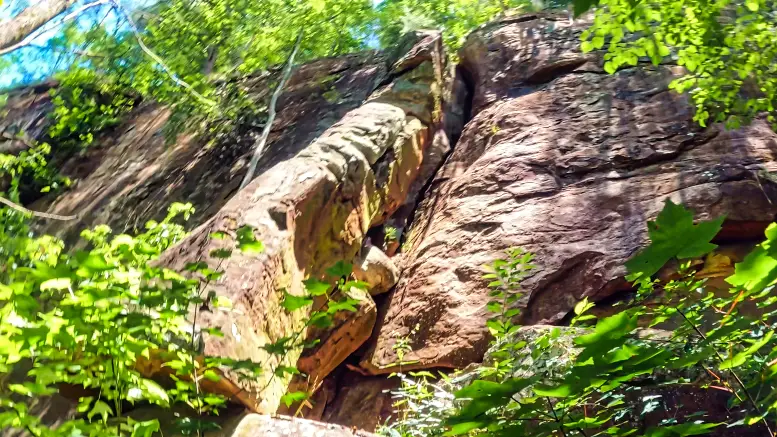
4. Landmark – Recklace Ridge
Recklace Ridge is located on a split-off trail towards the right after Hanging rock. It’s a massive ridge that’s not only difficult to find but extremely dangerous. So stay away from the edge!
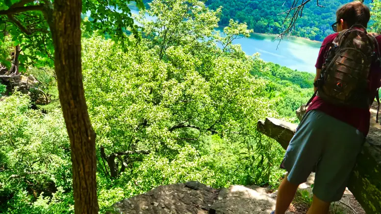
5. Landmark – Land Of The Flat Rocks
Unlike the previous two landmarks, Land Of The Flat Rocks is located on the primary path. Oddly enough, you’ll encounter many massive boulders with a mostly flattened body within 50 yards. While most boulders aren’t flat as these, it’s unusual to find many of them together.
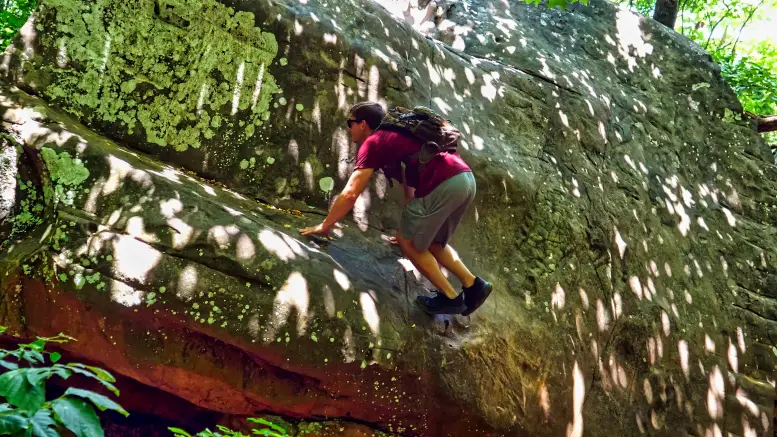
6. Landmark – Dead Fall Overhang
This enormous and artistic boulder is much better in person. You’ll run right into it on the trail.
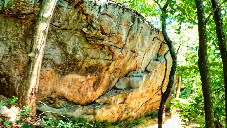
7. Landmark – Julia Falls Overlook
Julia Falls overlook offers one of the most scenic views we’ve encountered in the south. It overlooks the Tennessee River and makes an excellent place for a break.
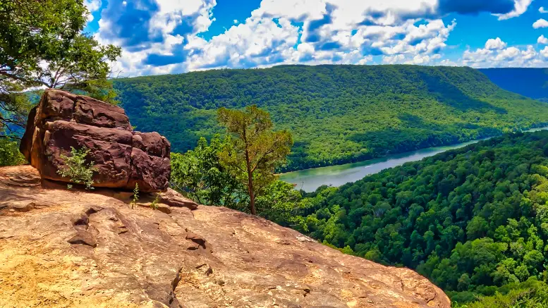
8. Landmark – Signals Cavern
This sneaky but deep hole in the ground is located on a minor off-shoot after Julia Falls Overlook. Be careful at a split-off trail since Signal Caverns will sneak up on you.
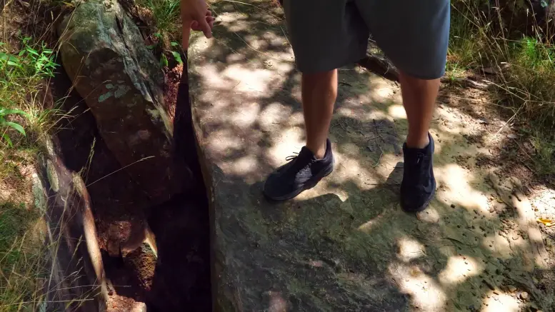
9. Landmark – Straight Down Trail
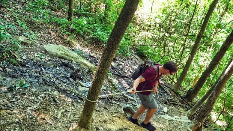
Shortly after mile 1, you’ll be hiking a ridge when you notice a trail split off to the left, heading straight down the valley. The Straight Down Trail is an adventurous path at an extremely steep decline where you must use the ropes and trees to make your way down. But what it led to was even more surprising.
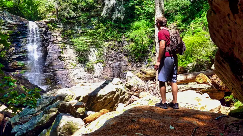
10. Landmark – Julia Falls
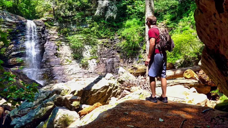
Julia Falls is the prize at the bottom of the Straight Down Trail. This serene place has the Julia Falls waterfall that pours into a pool while a ridge surrounds you. Best of all, it’s usually lowly populated since it’s challenging to find and get to. However, the more challenging path up and down is more than worth it.
11. Landmark – Middle Creek Bridge
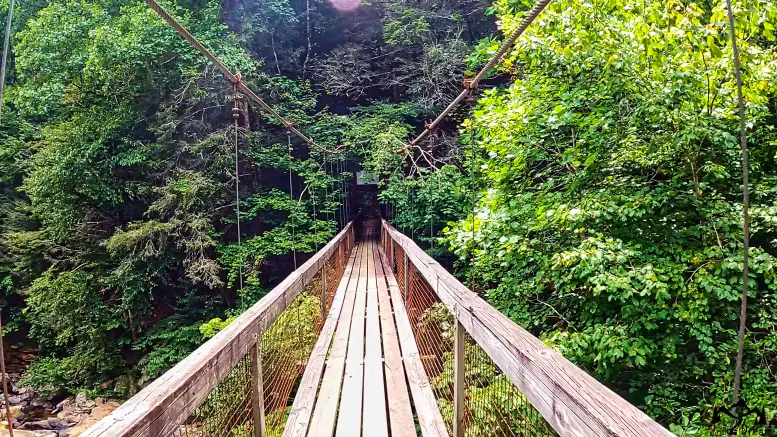
After climbing back up “Straight Down Trail,” you might need a quick rest. But only a quarter-mile later, you’ll encounter Middle Creek Bridge. Just crossing this bridge alone makes you feel like you’re in an adventure movie.
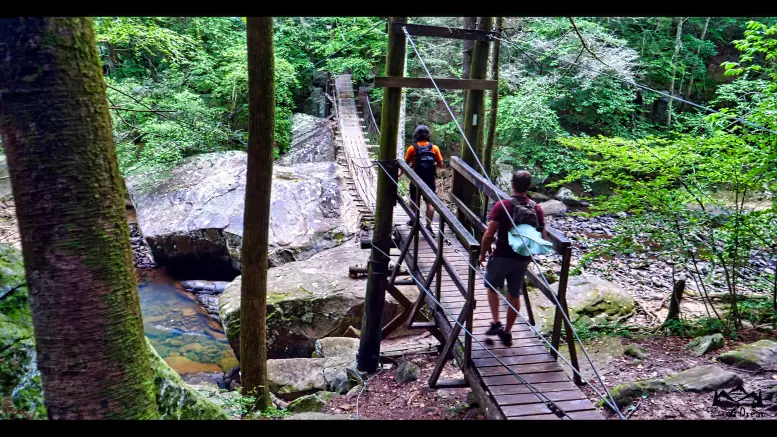
12. Landmark – Gunter’s Grotto
At the End of Middle Creek Bridge, you can take a right to the main trail. However, you can take a left that leads you to an offshoot path that takes you to a mystical area called Gunter’s Grotto.
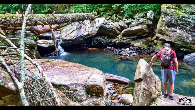
13. Landmark – Cumberland Caverns
Cumberland Caverns is an enormous rock-face with a cave with clusters of boulders as its floor. While it’s fun to explore this mysterious place, It’s also hazardous, so be careful.
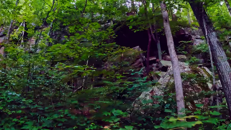
14. Landmark – Looking Glass Point
After the 2 mile mark, you’ll find a massive boulder with a cave-like opening in the center called Looking Glass Point.
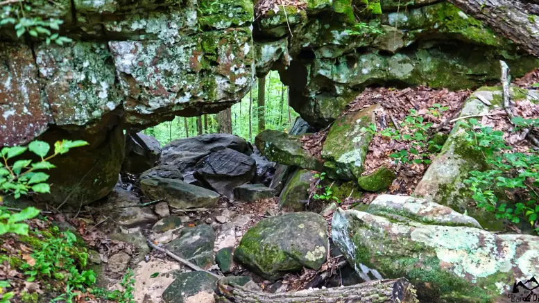
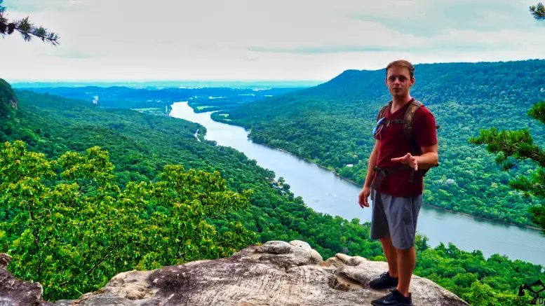
15. Landmark – Edwards Point
At 2.9 miles, you’ll find Edwards point that consists of three separate overlooks viewing the Tennesse river ridge. Here is yet another wonderful moment for a water break.
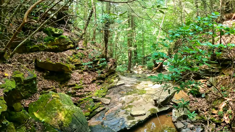
16. Landmark – Signal Springs
After Edwards Point, you’ll encounter an incredibly long but boring trail that feels like it almost never ends. What’s remarkable about Signal Springs is its kind of like an Oasis after a long bland hike. It also marks the start where the trail gets scenic and adventurous again.
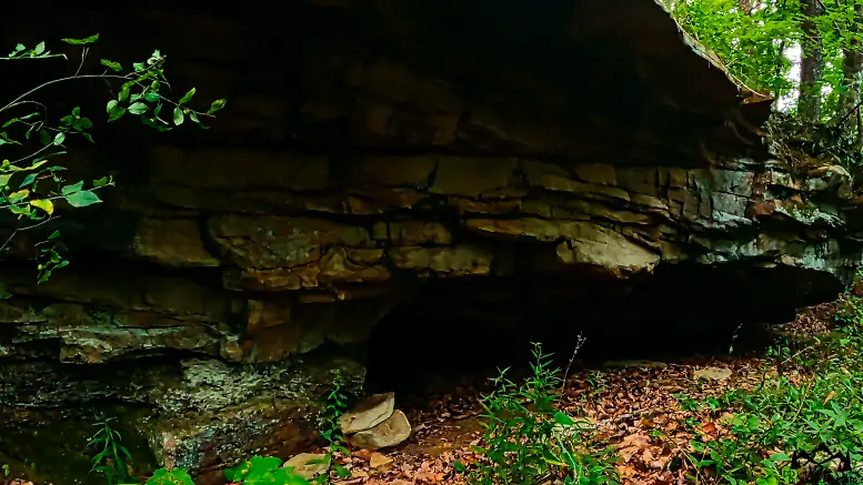
17. Landmark – Signals Den
Also, very far apart from Signal Springs, you’ll find a vast but distinctive boulder on the right side of the trail called Signals Den.
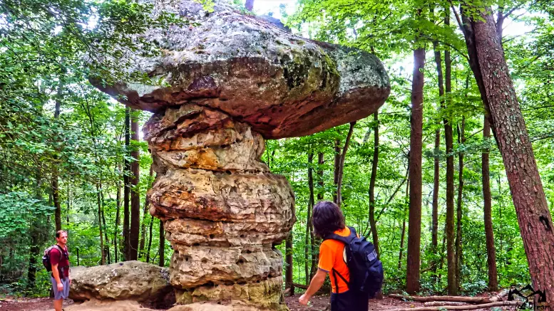
18. Landmark – Mushroom Rock
One of the most famous landmarks on the trail is Mushroom Rock. This huge boulder is perfectly shaped like a Mushroom and much more fascinating in person.
19. Landmark Suck Creek Bridge
The final landmark on this hike is the Suck Creek Bridge at 7 miles. This landmark is also notable, considering it indicates the final stretch of the trail till you reach Highway 27. From here, you only have 1.4 miles left.
My Final Thoughts On Hiking The Cumberland Trail
Overall, this portion of the Cumberland trail from Signal point to Highway 27 is a journey we will never forget. Although it was pretty tricky since we were also filming simultaneously, it was loaded with a diverse array of unforgettable views and experiences.
For those who like a strenuous hike, the Cumberland trail from Signal Point to Highway 27 is, without question, the one for you!

